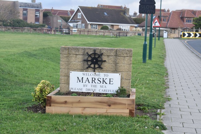
The fog and the Cinder Track

Monday 9th November 2026

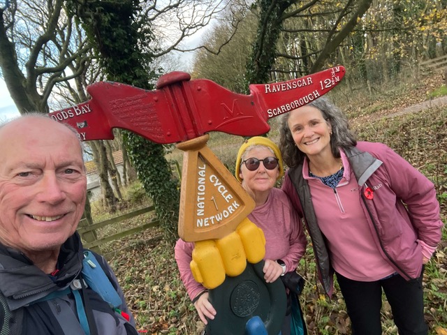
Today was the final piece of the North Yorkshire Coastline jigsaw – we just needed to walk from Ravenscar to Scarborough. It would have taken hours by bus from Marske so we drove the car again to Ravenscar where we knew there was free parking and free public toilets (well, these things are most important to us ramblers)! We set off early again and it was quite frosty – but then some heavy fog set in and it was pretty hairy at times – an absolute ‘pea souper’ as they say.

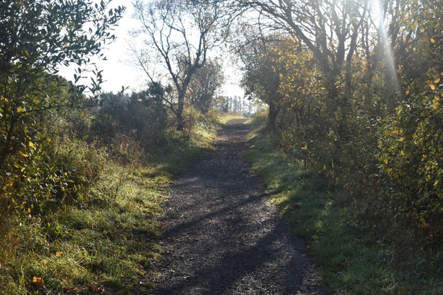
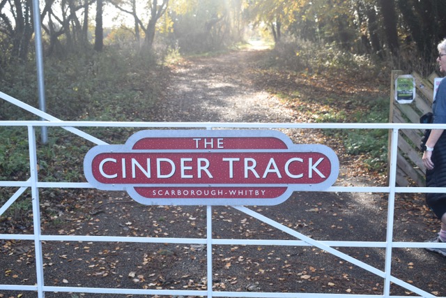
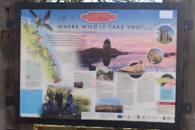
On arrival we made the splendid decision to take the alternative route to the coastal path – this is called the ‘Cinder Track.’ There were several reasons for this (1) being the fog (would have been precarious at the cliff edge (2) this is a straight flat path, slightly more inland, the same mileage but we could potentially save ourselves a good 1-2 hours duration and (3) we wanted to be kind to ourselves!! I don’t need to make excuses as this is a perfectly accepted alternative in the Coastal Path Fraternity, but it still felt naughty. This path was once the Scarborough to Whitby Railway – it was closed for trains in 1965 and this heavenly trail was provided for walkers and cyclists – there are no hills!! I’m sure we missed some spectacular coastal views but we were happy with our decision and enjoyed the countryside views instead.

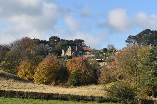
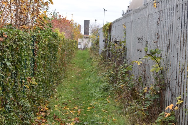
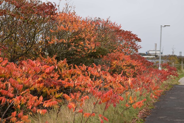
By the time we were on the track at 9.15am, the frost and fog had left us and we had the most amazing blue skies all day … and it was warm. We had the wonderful autumn colours and crispy fallen leaves to rustle through, but it felt more like Spring in the temperature. As a result, loads of walkers and cyclists out today.
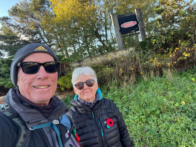
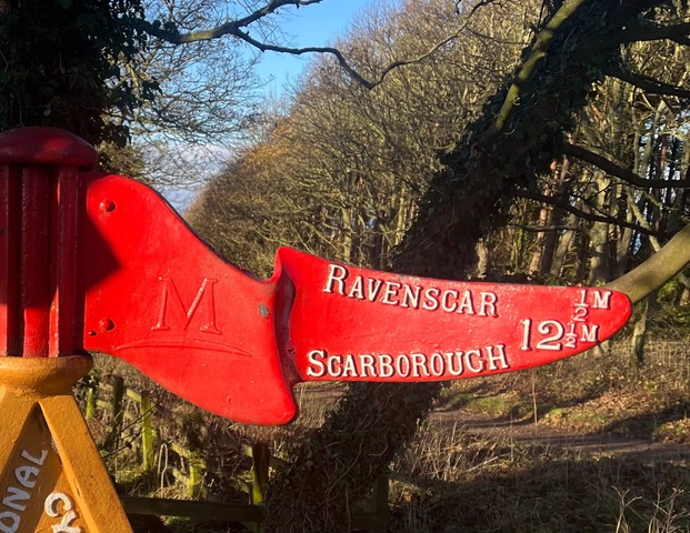
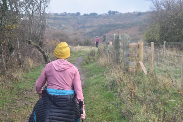
Setting off from the former station at Ravenscar

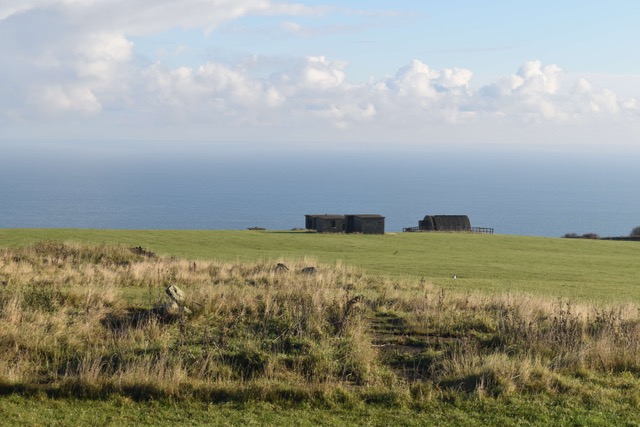
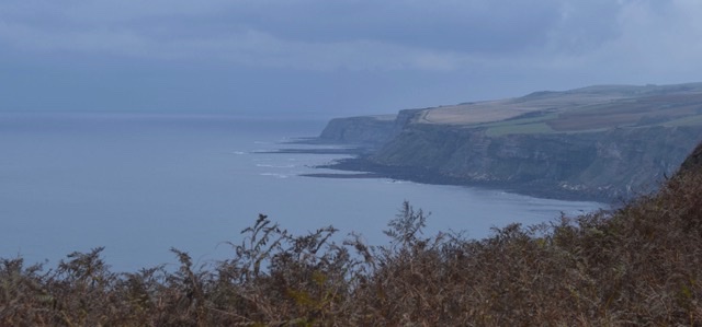
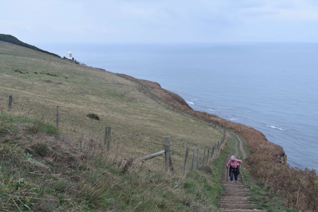
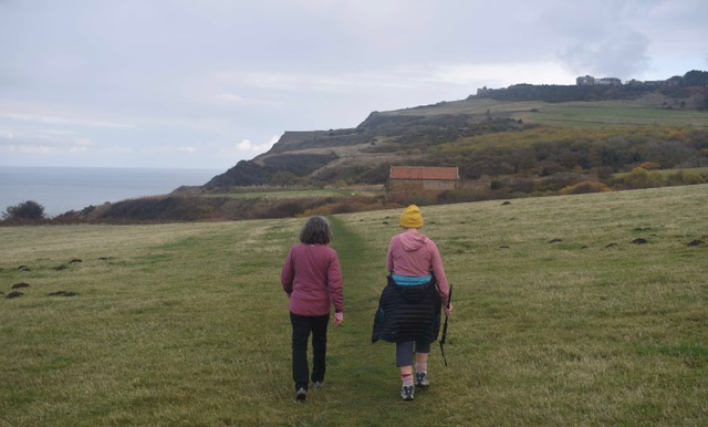
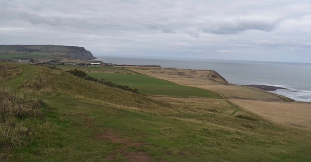
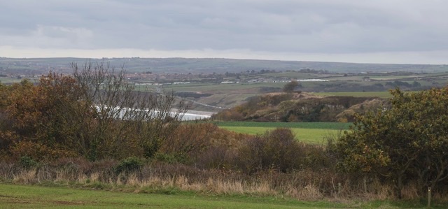
We still did get glimpses of the sea at points

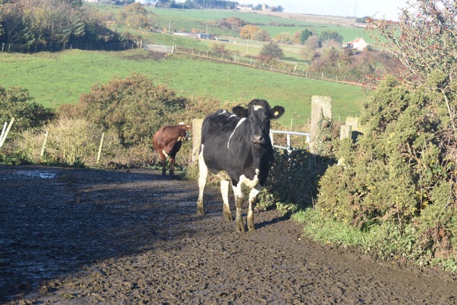
We had to cross a muddy farm track at one point where the cows were sauntering up to the top field after milking

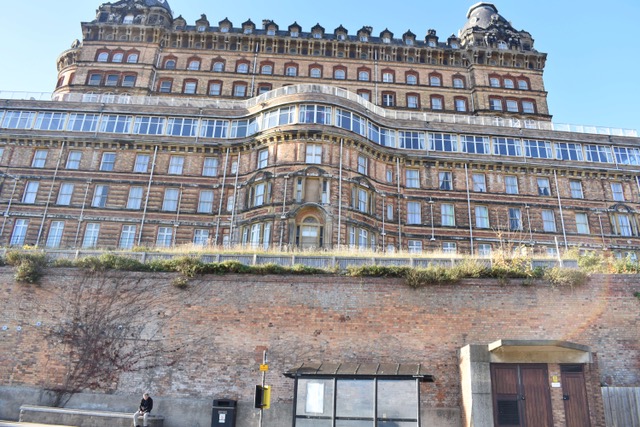
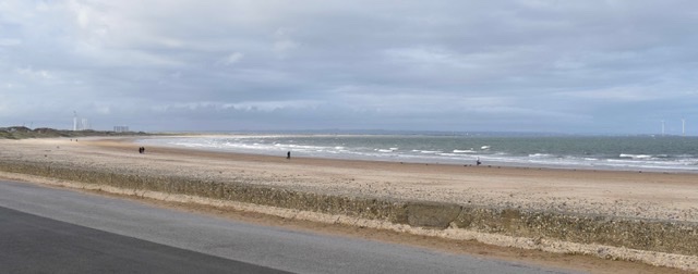
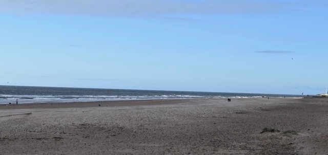
With an easy 9 miles under our belt we took a turn to the left and walked through the outskirts of Scarborough and its residential area, down to the glorious promenade. We still had to walk to the far end of the town but it was an enjoyable stroll along the seafront, soaking up all the seaside vibes. There is a North Bay and a South Bay, quite different. North Bay is quieter, more rugged while South Bay is the main tourist hub, with the harbour, arcades, bars and restaurants etc. Both have stunning sandy beaches. It must be incredibly busy in the summer. At just over 12 miles we reached our destination.
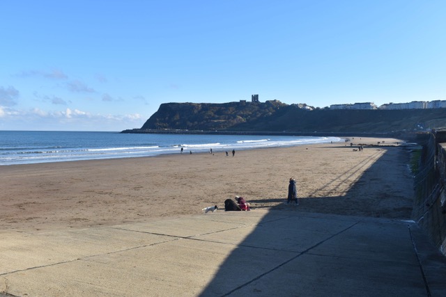
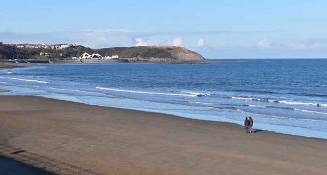
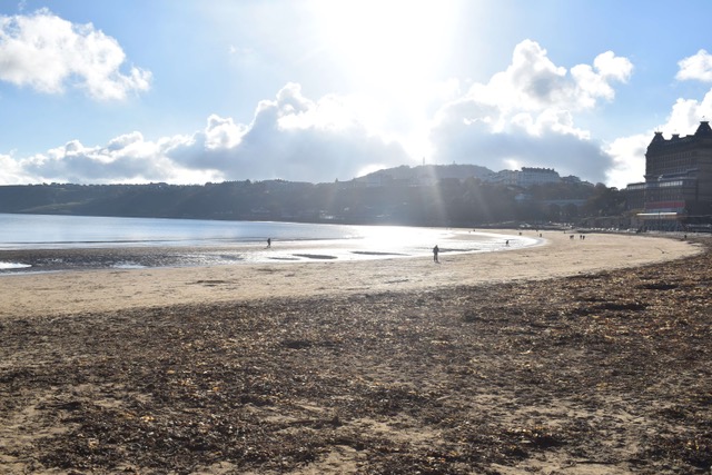
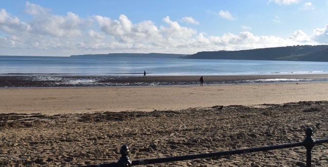
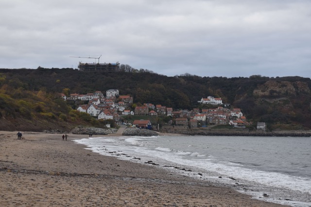
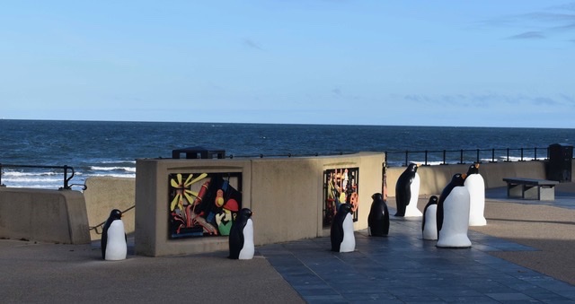
Scarborough North Bay

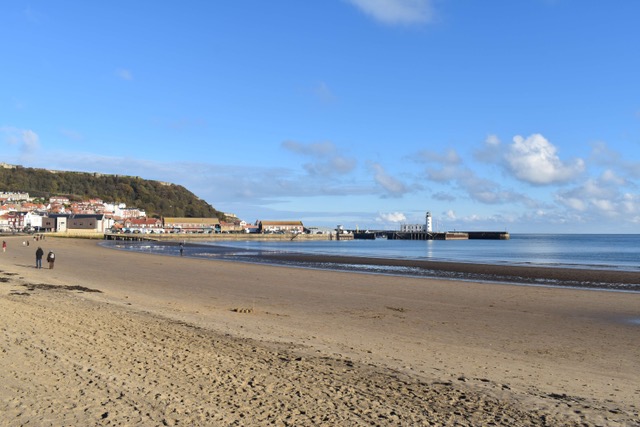
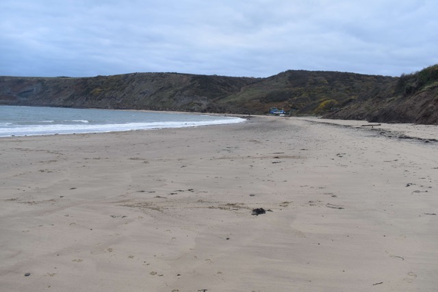
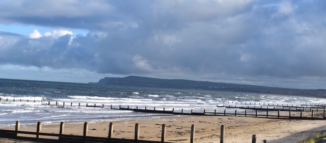
Scarborough South Bay

Steve and his new little mate on Scarborough promenade

Due to a shortage of buses, we treated ourselves to an Uber back to Ravenscar. We had the delights of a wonderfully chatty Nigerian driver, Ogbonia Anthony, who just couldn’t believe we could have walked that far at our age – he was literally screaming with amazement. When he dropped us off, he got out of the car and shook our hands and said we’d made his day. That was so lovely. And so, at just 1.30pm, we got to sit and have our lunch looking at the fabulous views stretching from Ravenscar to Robin Hoods Bay – life felt good.
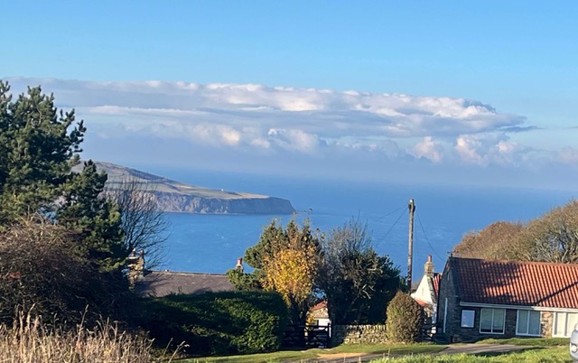
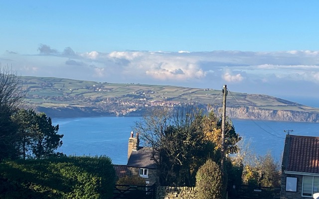
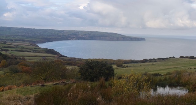
Looking back to Robin Hood’s Bay – in sunshine

And that’s a wrap for this trip, 68 miles walked over 6 days … from Middlesbrough to Scarborough … and an important gap filled. We have now covered the East Coastal Path from Scotland as far as Yarmouth and it’s beginning to feel like we’re getting somewhere.
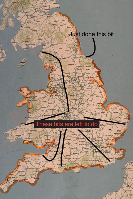
This map is highlighted in orange as to what we’ve walked and Steve has indicated the bits left to do! Could the end be in sight!?

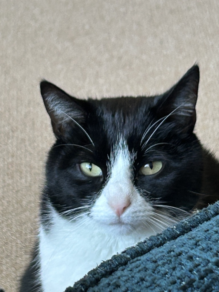
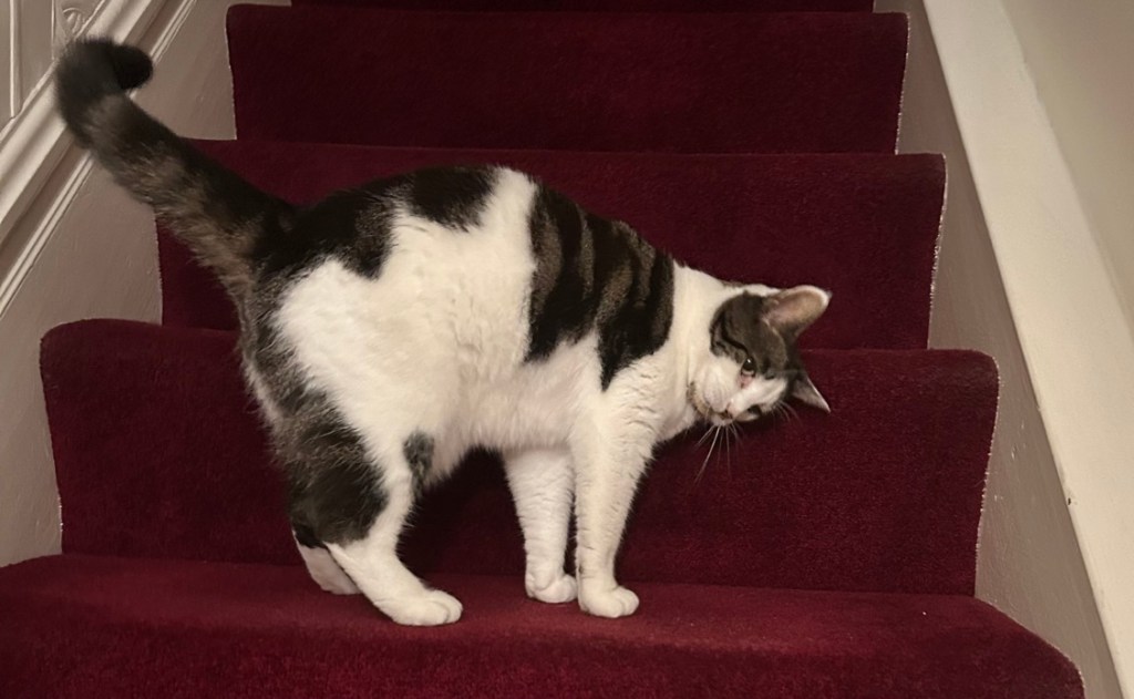
Tomorrow we say goodbye to Sheldon, the super friendly, playful, lovable cat we’ve been looking after and to our cosy bungalow house-sit in Marske-by-the-Sea. And we are heading to stay with Lynda and Paul for a couple of nights in Kirkymoorside, on the edge of the moors. Could that involve more walking!!?
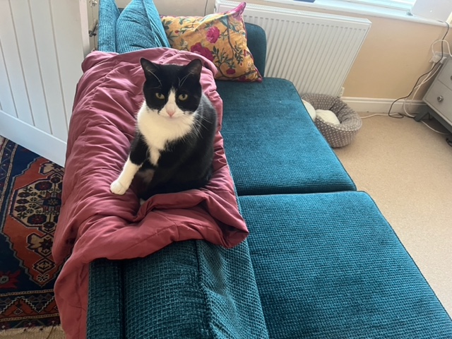
Bye-bye Sheldon xx

One up, one down … and meeting Lynda!

Lynda kindly came to meet us in Ravenscar, to drive us back to our car in Whitby

Sunday 8th November 2026

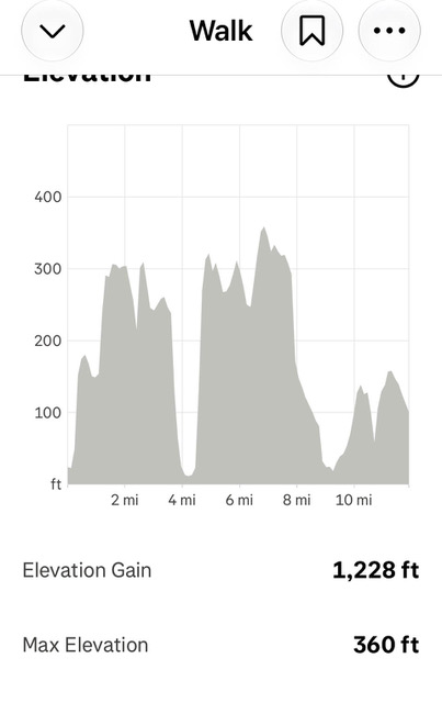
Today’s walk was like 19th Century Workers’ Housing – “One up, One down” – there was very little in between – we either seemed to be going up or we were going down. Not an abundance of idyllic flat cliff top walking in between, but still absolutely spectacular views and wonderful seaside villages along the way.

We had driven to Whitby nice and early to make sure we got the walk completed in daylight, its getting dark so early these days. We parked up by the harbour and got a good glimpse of this part of town – certainly not short of fish and chip restaurants. The coastal path signs led us up the steep hill out of town, passing fabulous shops. Another place I am determined to come back to when I have more time. Then it was ‘many’ steps up to the ruins of Whitby Abbey, a dramatic skeleton of Gothic architecture, one of England’s most iconic historic landmarks. We were up at the top of East Cliff, all ready for the off.

Leaving Whitby Harbour area

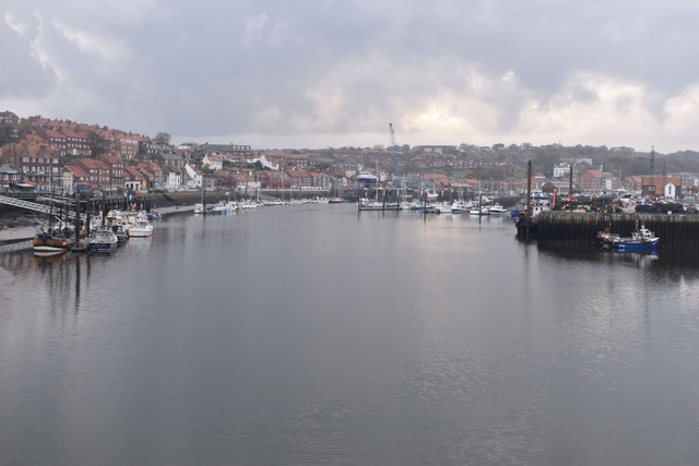
Whitby Harbour

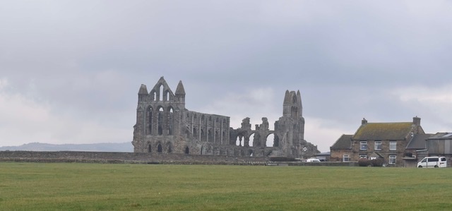
Whitby Abbey

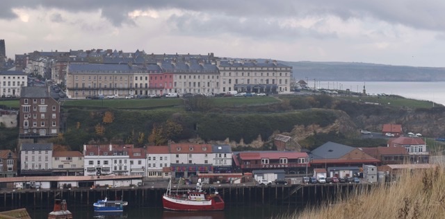
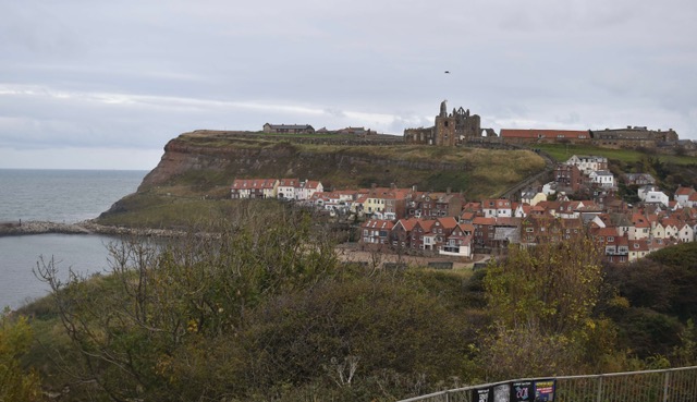
Looking back on Whitby

Then, as I said, we just seemed to get one climb done and we’d face a downhill, which meant another uphill … and so the pattern was set for the day. There were a lot more walkers on the path today, being a Sunday – so lots of hellos. We did stop and look out to sea at 11.00am, and held a minute’s silence in honour of our fallen soldiers. We were proudly sporting our new crocheted poppies which we’d bought in Skinningrove a couple of days earlier – paying our respects.

After 7 miles of walking we were heading DOWN into Robin Hood’s Bay – we were very excited as we had heard so much about this place over the years … and we certainly weren’t disappointed – absolutely picture perfect. We stopped for our lunch here and, whereas this is generally a lonely activity for us, today we had the company of swarms of tourists, even in November! From our lunch spot we had to walk even further DOWN to pick up the coastal path but we got a splendid view of what Robin Hood’s Bay has to offer … we’ll be back some day.

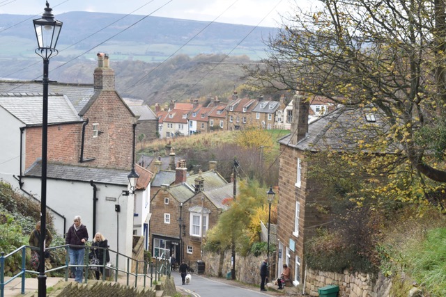
Walking down into Robin Hood’s Bay

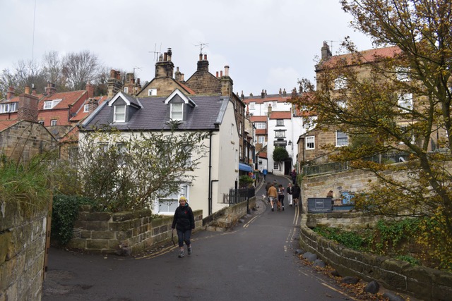
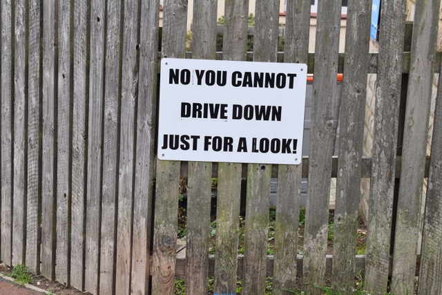
Strictly no visitors cars allowed beyond this point! Think we get the message!

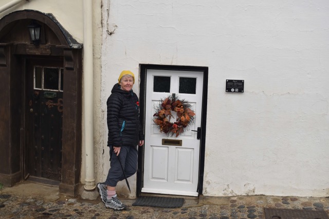
I could have lived in this house, but think Steve might struggle!!

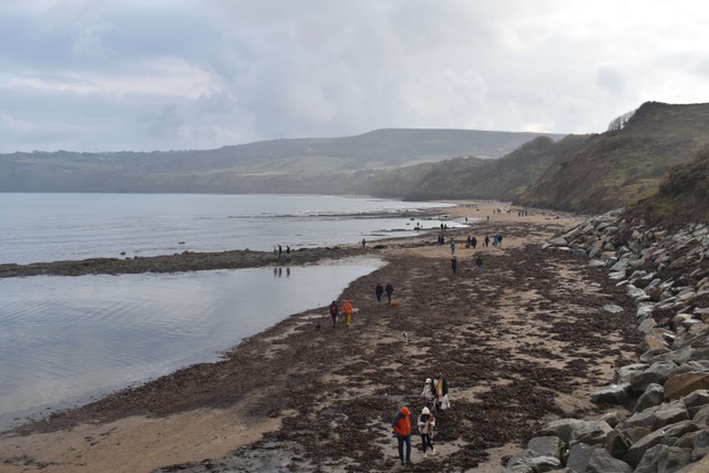
The beach at Robin Hood’s Bay

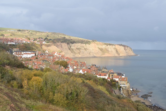
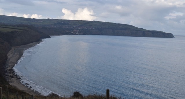
Looking back at Robin Hood’s Bay

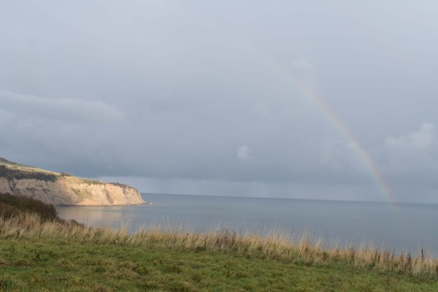
A fleeting ran shower was accompanied by this wonderful rainbow

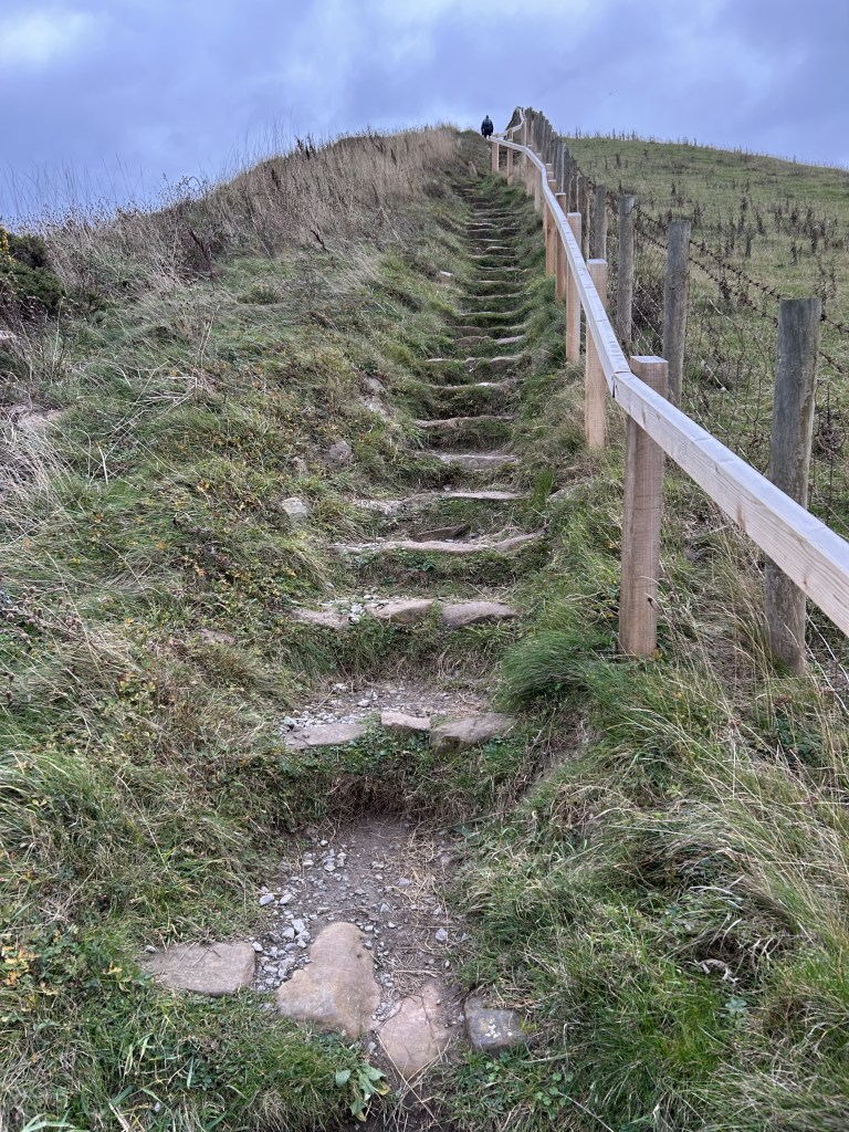
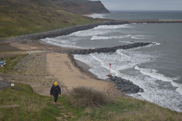
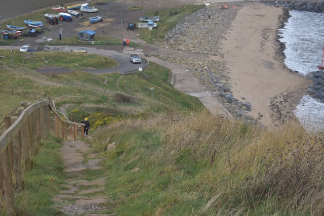
And UP we went in the hope that the next 3.5 miles to Ravenscar might be ‘less undulating.’ Steep but beautiful new steps were provided for the walk out of Robin Hood’s Bay and once at the top I thought I’d survived the day. But very shortly afterwards at Boggle Hole there was a long descent and an equally long ascent. Oh joy.

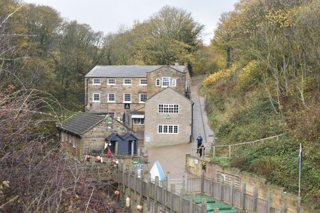
The Youth Hostel at Boggle Hole

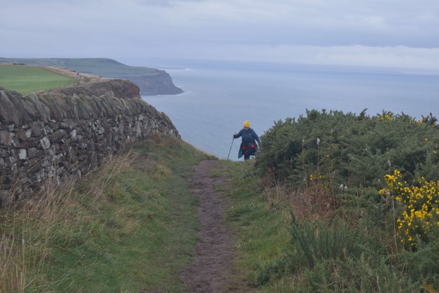
It was then all about persevering with these ups and downs to get to Ravenscar, where our lovely friend Lynda was meeting us in order to drive us back to our car in Whitby – Sunday buses just hadn’t worked out. Even though we could see a huge hill in front of us, we assumed that we’d be walking a downhill slope into the village and that the hill would be part of tomorrow’s walk. WRONG! And what a true test of friendship – Lynda walked about a mile down from the village to meet us on the path, even though she’s recently had a knee replacement, and even though she knew the walk back up wasn’t the easiest. It was lovely for the three of us to do it together – a new person and some new chat really helped. 11 more miles in the bag and one more day tomorrow to finish this stretch of coastline.

Meeting Lynda on the path ..

Always helps to have a buddy by your side – love a walk and chat!

Saturday 7th November 2026

A day off walking at parkrun and to see Lynda and Paul, who drove from their home in Kirkbymoorside, to meet us for breakfast and a walk in Saltburn.

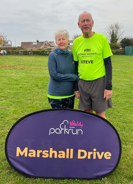
Drove to Brotton to do the Parkrun – 4 laps and hills!

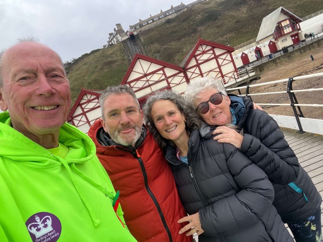
Steve, Paul, Lynda and me on Saltburn Pier

Another day, another climbing expedition!

Friday 6th November 2026

Could it possibly get any harder? Oh yes it can … and it did! Home now recovering from a 12 mile coastal ramble between Staithes and Whitby. I thought yesterday was tough but today it turned up a notch. The climbs seemed even steeper and some of the descents were precarious to say the least. I would say not for the fainthearted … but then again, I am fainthearted!! The cliff tops walks in between the hard bits made it all worthwhile and the views were outstanding. I’m glad I did it.

We drove to Staithes and parked in Bank Top Car Park at the top of the village – no visitors are allowed to take cars further down. We walked down the long steep hill that we’d had to climb up yesterday to the harbour area, only to find out that the coastal path was somewhere near the top … so, up we went again. I did get to use the Public Conveniences first though, so not a complete waste.

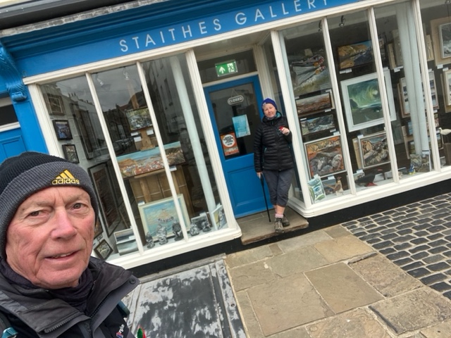
Setting off from Staithes. This is one of many art galleries – the village is a magnet for artists

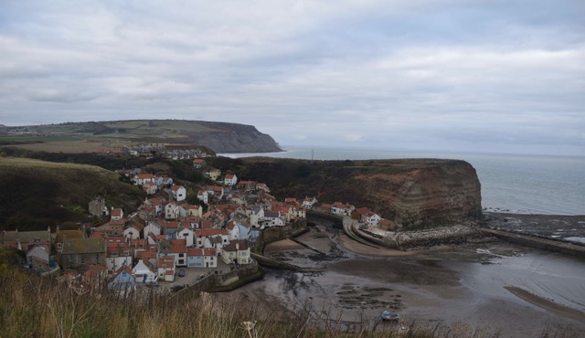
And of course there was a nasty initial climb to get onto the cliff tops, seemed to go on for ever. Loved it once we were up and the views looking back over Staithes were fabulous – so inspiring for my newfound painting hobby.

Looking back over Staithes as we left (once we’d finished the first climb)

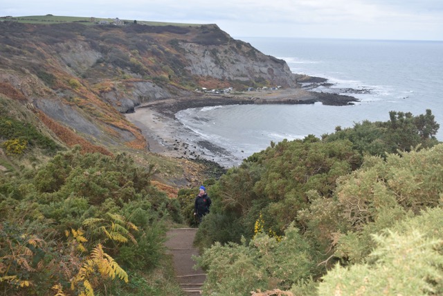
The next descent and ascent was at Port Mulgrave – we didn’t have to go right down the shore but the climb out was gruelling. I could see it was going to be one of those sort of days … and I was pacing myself.

Climbing my way out of Port Mulgrove

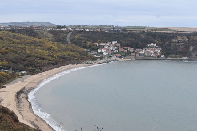
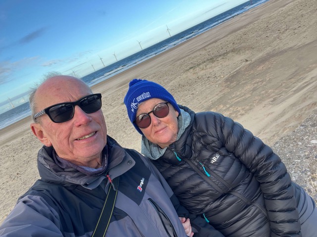
Some more wonderful cliff top scenic walking before we found ourselves looking down to Runswick Bay and then taking an incredibly steep descent on a road path down to its glorious beach. We stopped off for coffee at a beachside cafe (some cake too). As we were leaving another customer asked if I was from Milton Keynes – I thought he recognised me but it was because I was wearing an MK Marathon bobble hat. Turned out he and his wife moved here a year ago from Milton Keynes – we stayed for a chat and turned out we had some mutual friends – Redway Runners of course!

Runswick Bay Beach

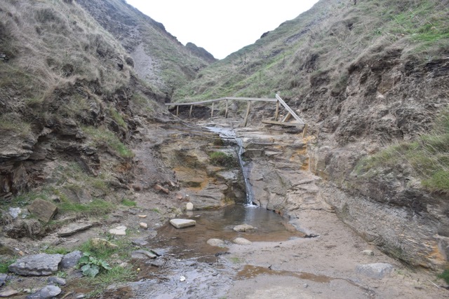
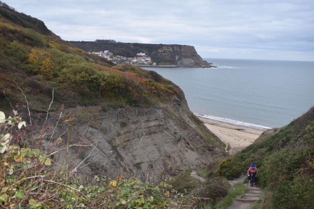
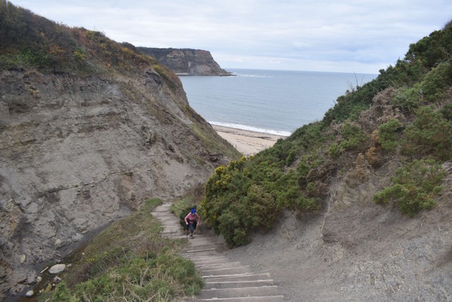
The O/S app guided us around the beach to pick up the next part of the coastal path but as we were wandering around there seemed little evidence of a path. Then, out of nowhere, tucked away was a gap in the cliffs, with a very rugged start to a crazily long climb up. The pattern continued.

The welcoming start to our climb up from Runswick Bay

The steps did improve

The day continued with ups and downs and breathtaking green cliff top sections in between. The next nightmare was an early descent nearing Sandsend – steep metal stairs, followed by steep wooden stairs, followed by steep rocky steps, followed by a steep muddy/rocky/autumn leave covered downward slope – absolutely not nice. Loved Sandsend when we got there though and we had our lunch listening to the waves crashing on the sea wall. The end was in sight.

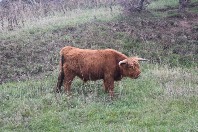
Passed the time of day with this lonely Highland Cow – no friends to keep him company

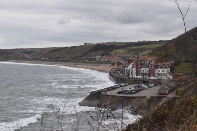
Pretty Sandsend with its crashing waves

Then it was a relatively straightforward walk to Whitby, good paths, not too much climbing and we enjoyed a short walk around the historic town. We imagined what it must be like during the summer months – it was so equipped with hotels, guest houses, theatres, entertainment and seaside promenade. We didn’t linger as we were tired after 12 tricky miles1 but we’ll be back to see Whitby again. There’ll be another walk to do leaving the town and undoubtably there’ll be a climb involved. I might be busy that day!!

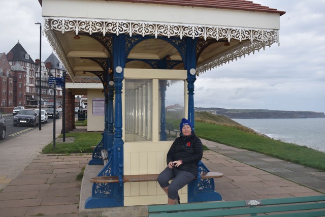
On arrival at Whitby – love these promenade seats

Wonderful Whitby – so lovely to finally see it

These are all the elevations – look how may ups and downs!

Back to proper Coast Path Walking …

Thursday 5th November 2026

Today we walked from Marske-by-the-Sea to Staithes – we had stunning sea views the whole way, a truly spectacular stretch of coastline – albeit a tad strenuous!

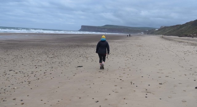
On leaving Marske, the Coastal Path signage immediately led us to several sets of scarily steep steps, both going up and going down, to take us through the sand dunes. Thinking caps on … we diverted to the beach and had a glorious 2.5 mile stretch of sand to enjoy, taking us all the way to Saltburn. It would have been madness not to take this option.

Setting off from Marske by the Sea

Marske Beach

A perfect beach stroll from Marske by the Sea to Saltburn – 2.5 miles

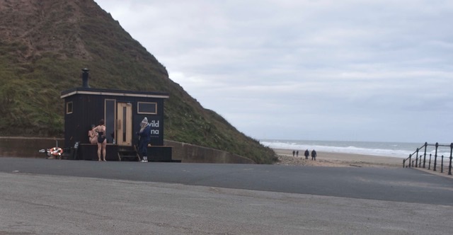
We loved our fleeting stop in Saltburn. Witnessed some mad swimmers/sauna users and enjoyed a coffee in the Surfs Up cafe – a treat before the hard bit begun.

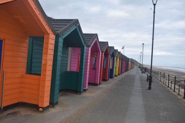
The pretty and perfectly maintained Saltburn Beach Huts

Swimmers/Sauna Users

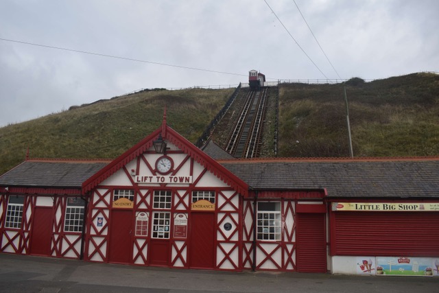
The funicular railway

The Surfs Up Cafe

And then the first hard task of the day – climbing out of Saltburn. Many many steps which were breathtaking – quite literally – you needed an iron lung!! But as always, worth getting to the top for the views. Then we enjoyed a fabulous stretch of cliff top walking for miles and nothing too strenuous – my favourite sort of coastal walking. We had to get a little close to the edge at times and it was a fair old drop down, but we kept our wits about us … essentially I just didn’t look down!

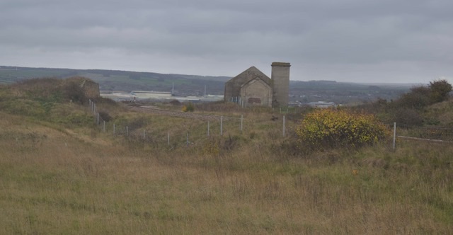
A great deal of mining history in this area and some current mining in the background

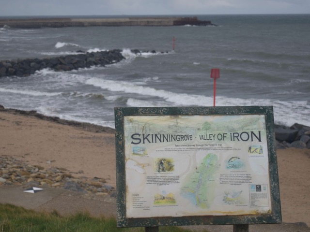
Coming into Skinningrove, we somehow missed a turning on our left which would have taken us steeply downwards to the village’s beach … no Coastal Paths signs! By keeping to the higher ground right hand path, we managed to add an extra mile on to today’s walk. We live and learn and eventually found a way down and as this was about 7 miles in, we stopped for our picnic lunch. There was a wonderful aroma of fresh fish and chips cooking nearby, if only we’d known. We loved what we saw of Skinningrove – we hope to come back to some of these beautiful places one day – without walking boots!!

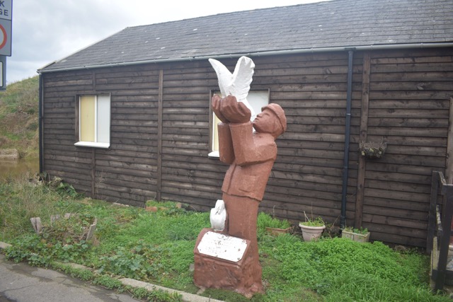
Pigeon racing is a deeply rooted cultural tradition in this village

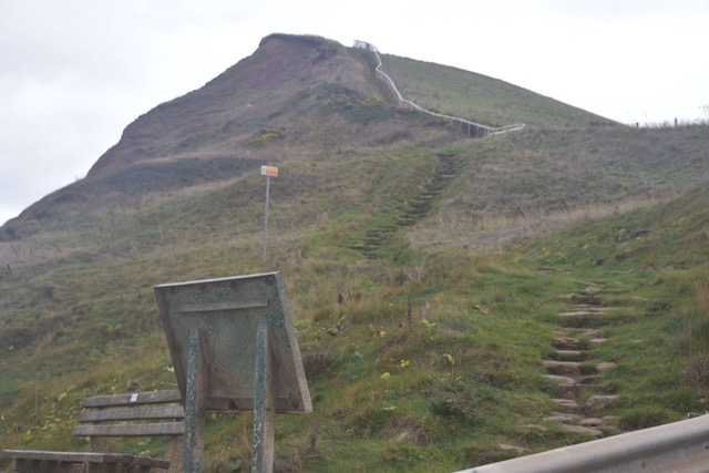
But one of the most memorable things was the climb out of it. We thought Saltburn was bad but this really took the biscuit. Steve raced up like a mountain goat of course, I did dainty little chunks at a time – taking opportunities to appreciate the views … and breathe!

The climb out of Skillingrove

I was only half way up when Steve was at the top!

I did make it up eventually

For some reason in my super optimistic mind I thought well that’s the climb over, it will all be about luscious cliff top walking now, I can stride along and soak up all the views. Wrong!! Views a plenty of course but the ascent continued pretty much for the next 3 miles, it was unrelenting. A few huffs and puffs I have to say, even though it was that “proper coast path walking.”

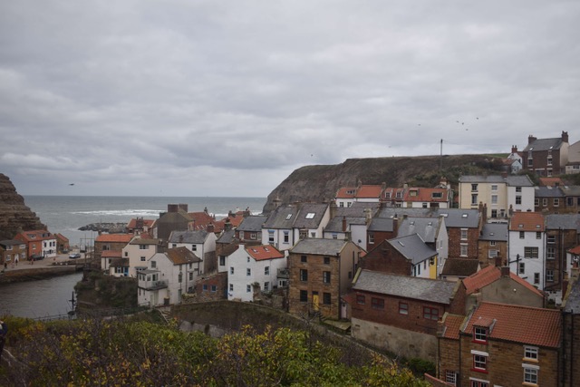
When the descent finally arrived it was a major relief and we headed gaily into the historic cliffside fishing village of Staithes. Another picture postcard spot, with its narrow cobbled streets. It even has a connection to Captain Cook – he was famously apprenticed to a grocer and a haberdasher here before going to sea.

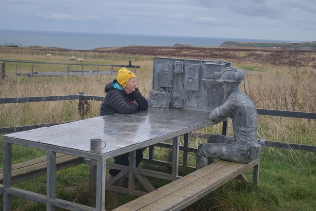
Having a chin wag with my metal mining friend

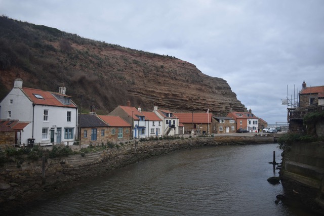
Beautiful Staithes

We finished our walk here and then it was just about finding the bus stop to take us back to Marske … and guess where it was? At the top of a humungous steep hill. I even got overtaken by an elderly lady – she was trying to keep up with her husband who was on a mobility scooter. I was mortified and tried to tell her that I had just walked 12 difficult miles – but she didn’t hear me!!

The Road to Nowhere … and finally the sea

Finally in Redcar we had sea views

Wednesday 4th November 2026

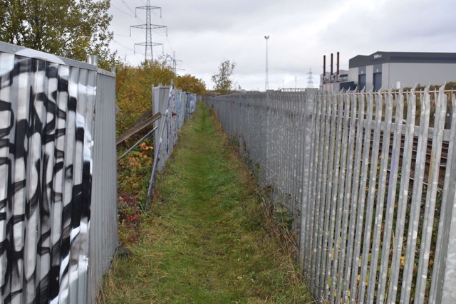
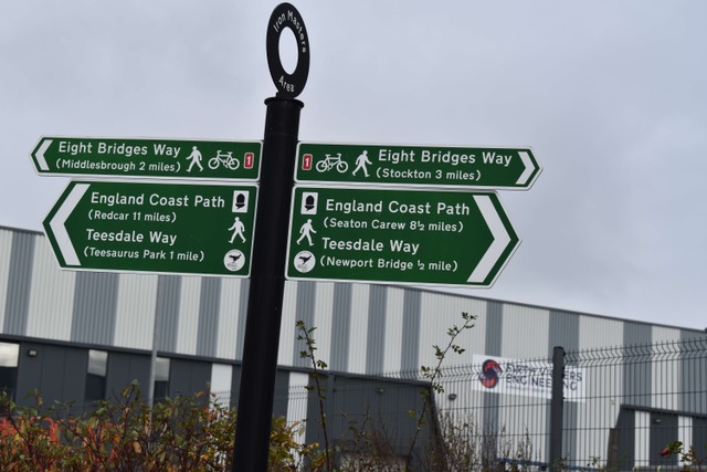
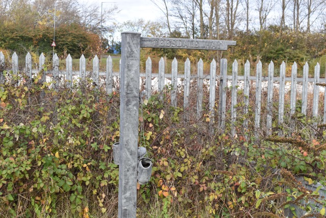
Today we picked up our walk in Southbank after a train ride. It was hit and miss as to whether or not the train would stop there – as there seemed to be conflicting information – but it did and that felt like a good omen for the day. Luckily no scenes of violence as had been hinted at yesterday, and the Teesdale Way signpost even had a coastal path sign on it, just couldn’t get any better. The first 3 miles was walking along this very narrow path, alongside the railway line and amongst industrial plants – at least we weren’t roadside.

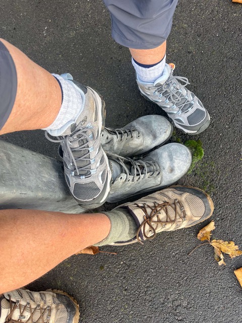
The metal boots were at the base of the Teesdale Way signpost … with coastal path signage

The long narrow path – Teesdale Way

However, at about 3 miles there was a sign to say the footpath was closed and we were provided with metal steps to take us up to the roadside. There were no further coast path signs so we continued on the pavement in the general direction that we had been headed. We walked about a mile and were pretty smug about how comfortable this wide tarmac pavement was … and then … a security van pulled up.

“Can I ask you where you’re heading” he enquired.

“We’re coastal walking to Redcar” we explained.

“Not down this road you’re not – this is Private Land. And it’s a dead end.”

He was very polite but absolutely to the point. He explained what we had to do … but didn’t offer us a lift back. And he circled around to make sure we had left the premises!

This luxurious pavement was actually leading us to nowhere!

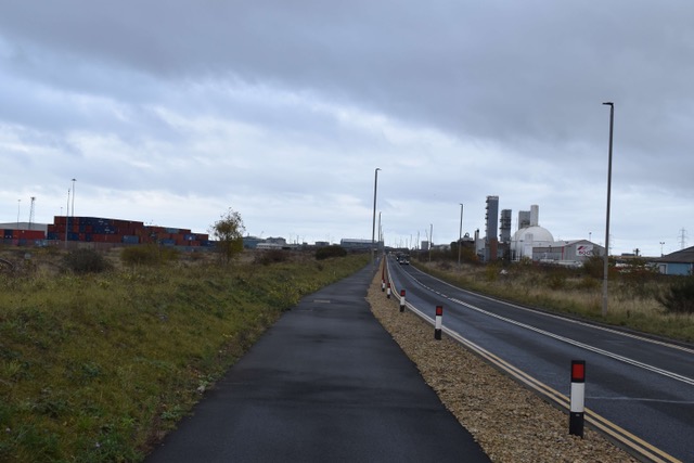
Feeling a little cheesed off, we re-routed and struggled at points to locate pavements, having to face this crazily busy dual carriageway to Redcar. It was predominantly lorries whizzing by our ears and the area was still heavily industrialised, so all a bit grim. On the up side though, we did have pavement AND we could see blue skies and wind turbines in the distance and could just feel the pull of the seaside.

At about 6 miles, a Coastal Path sign popped up and led us off onto an area of grassy sand dunes and across a golf course. The worst was over. And at 9 miles we reached Redcar and were overjoyed to finally see the sea, smell the salt air and hear the crashing waves. We’d arrived … for a lunch stop that is! We found a sheltered spot and tucked into our tuna sandwiches and chocolate to boost our energy. Sadly, there were no cafes open – a hot tea would have been so welcome.

Redcar’s sandy beach

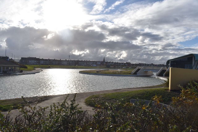
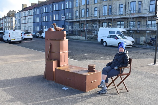
We enjoyed our walk through Redcar, it seemed a well maintained town with a pretty seafront and some remarkable buildings. The wind had got up and we were walking headlong into it. Felt such a wonderful contrast to the earlier part of the day though.

The boating lake in Redcar

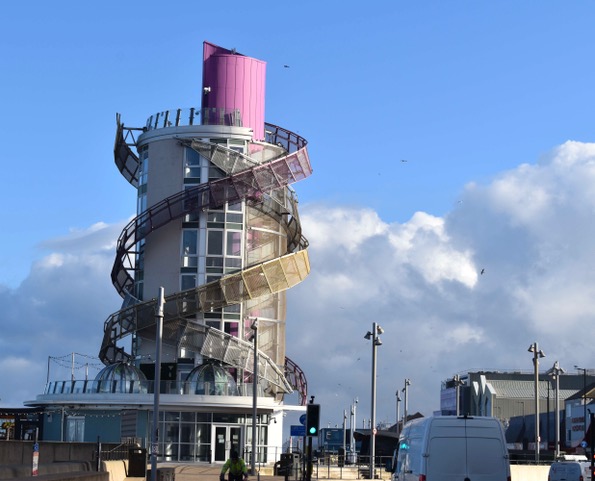
The Beacon

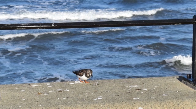
Saw lots of these little birds – think they’re turnstones

Had a glimpse in the distance of what tomorrow’s walk is going to be like – a little hilly methinks!

When the promenade ended we were cliff top walking into Marske-by-the-Sea and all was plain sailing. A little weary it has to be said so relieved when just short of 13 miles we reached the village and today’s ramble was at an end. At least this road goes somewhere, and we’ll be back on it tomorrow!

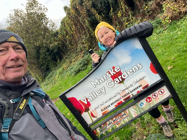
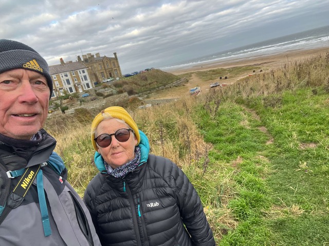
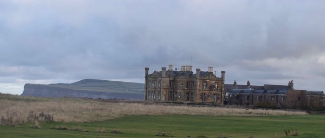
Cliff House in Marske-by-the-Sea

New walking boots for Middlesbrough

Monday 3rd November 2026

Yesterday we made the long drive up to Yorkshire for some more coastal path adventures and a week’s house-sit in Maske-by-the-Sea. We get to care for a delightful little cat called Sheldon and stay in a very cosy bungalow while the house owner is away working in Morocco. We’re aiming to complete a 65 mile section to close a gap we have between Middlesbrough and Scarborough, so we’ll be busy rambling over the next few days. Makes a change!!

Last time we were up in these parts we finished our walk in the Port Clarence area of Middlesbrough so by bus and train we found our way there to start off today’s mission, which was basically walking through this town, up one side of the estuary and down the other, finishing in Southbank. It’s hard to believe it’s the England Coast Path as we saw minimal water – it was just one of those ‘get it done’ sort of days. Nothing scenic unless industrial areas float your boat. But we’re more than going to make up for that over the next few days as we have the delights of Saltburn, Staithes, Whitby, Robin Hood’s Bay and Scarborough to look forward to.

The first 3 miles were the most grim in terms of industry/heavily trafficked road walking. After that there were some more pleasant paths alongside the estuary for a while, then through parts of “Boro” (as locally named) and onto the Teesdale Way, a narrow path alongside the railway line, which brought us to today’s destination – the ‘Southbank’ area of Middlesbrough. We walked just over 8.5 miles, a little less than we’d estimated so win, win!

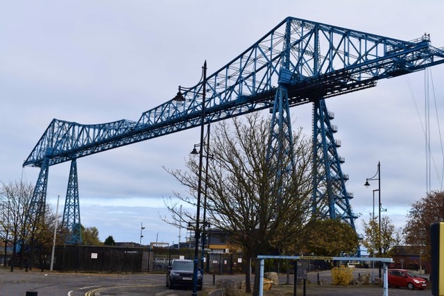
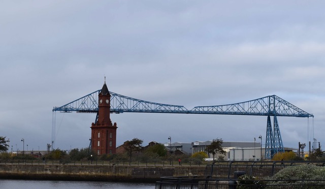
While we were in the town it was interesting to once again see the Transporter Bridge, a famous Grade II listed engineering landmark, opened in 1911. Although it is now closed it is still such an iconic sight.

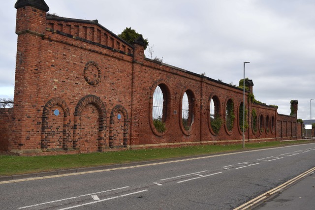
The surviving southern brick wall of the former Cleveland Salt Works

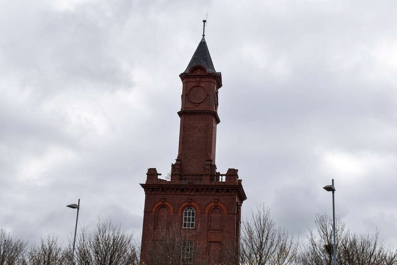
This clock tower only has clocks on 3 faces – the side facing the old dock works was left blank to stop the workers clock-watching!

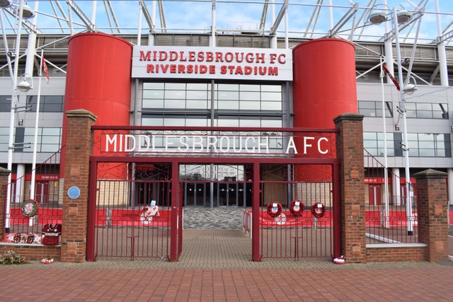
Of course Steve had to pay homage to the Football Stadium

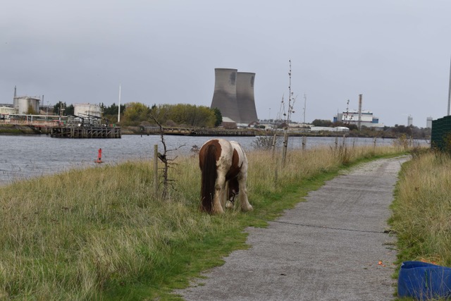
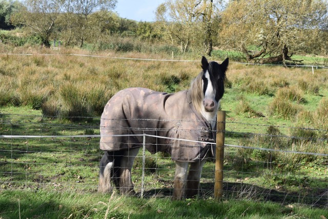
Walking alongisde the estuary for a while – several traveller horses tied up along the way.

It really WAS coastal path – here are the signs to prove it.

The narrow Teesdale Way which led us the final few miles to Southbank

Joyful to be out walking in the Autumn colours

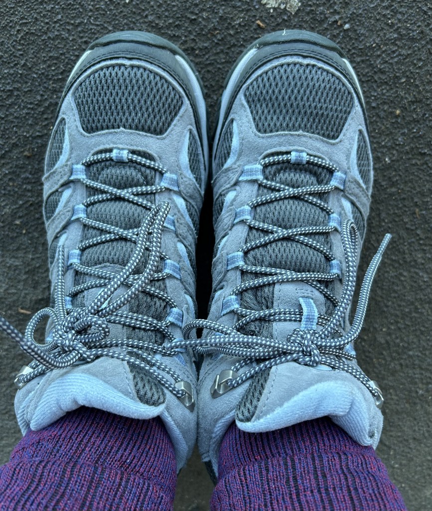
And today it was time to break in my new walking boots – they looked so clean when I started, not so much when I finished!

And home to Sheldon

When we got to Southbank, our plan to get the train back was thwarted as the station was closed. We treated ourselves to an Uber and the driver informed us that we should never go to this area at night – there are frequent stabbings and other troubles. Looking forward to picking up our walk there tomorrow morning!!

Walking Walney Island

Monday 5th October 2026

Our final walk for this trip and we decided to go for a biggie – the 16 mile circuit of Walney Island. If you fancy a 6 hour ramble this could be the one for you – it’s easy going terrain and incredibly varied – just very long!

We caught an early train to Barrow in Furness and physically prepared ourselves with a Wetherspoons Full English breakfast before getting the bus to Jubilee Bridge – the gateway to Walney Island. Another overcast day sadly and the weather forecast predicted high winds and rain later so we’d come prepared with warm coats and hats.

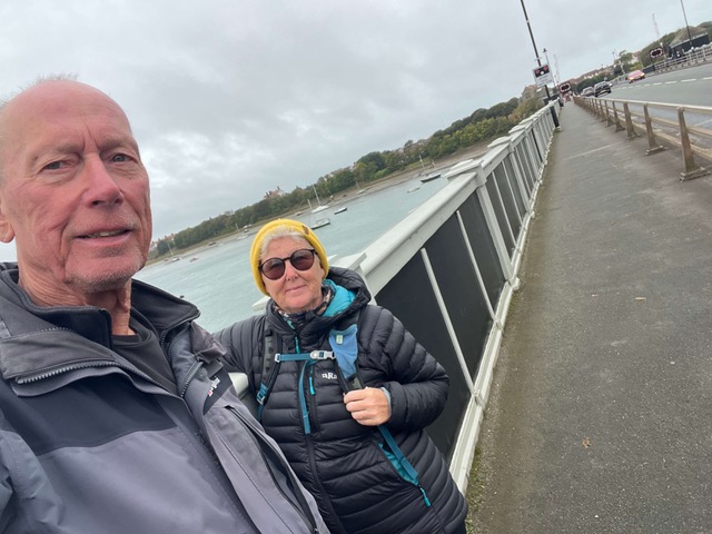
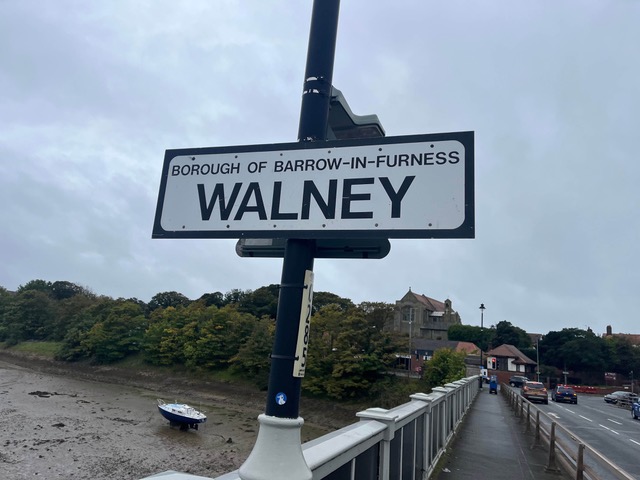
Crossing Jubilee Bridge to get onto Walney Island

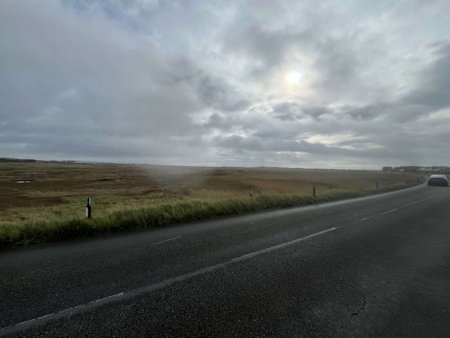
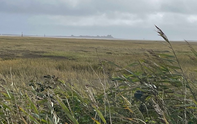
We walked through the residential area of Walney to start with and then this led to a long stretch of National Speed Limit road where we were doing our usual thing of balancing at the edge – it wasn’t too busy though so all good. But 5 miles of this felt a tad tedious – our only views being the mud flats and Piel Castle. We didn’t get to Piel Island but an interesting fact – it has a King – the current King is Aaron Sanderson, a former submarine electrician. The coronation involves sitting in an ancient chair while wearing a helmet, holding a sword, and having beer poured over his head! Now that would have been worth watching.

The very long stretch of road walking to get to the South End of the island

Views of Piel Castle on nearby Piel Island

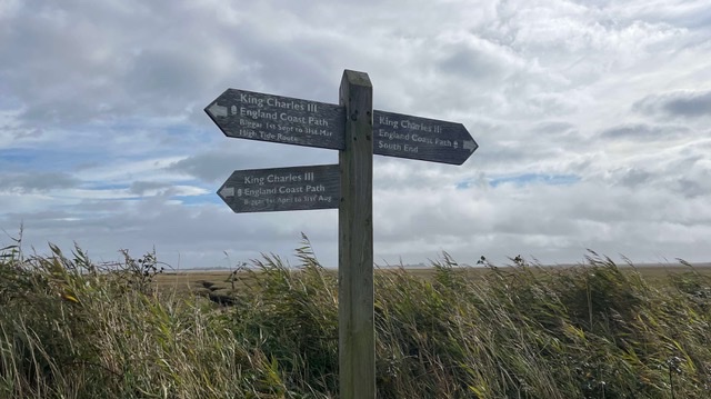
Great signage again today

We could hear the sound of the waves long before we reached the South End but it was fabulous to reach this long beach section of the island. It was quite a varied selection of path – promenade concrete, farm fields, shingle beach, sand, wide open cliff top paths and narrow close to the edge paths too. We realised at one point that we’d got onto the wrong side of the fence as we neared a very large herd of cows, so we scrambled under the barbed wire fence to the other side. Lucky we did as they were exceptionally inquisitive even with a fence between us and we were only inches away on a fairly narrow path, plus it was pretty muddy their side.

Reaching the beach side of the island

Some of the wider cliff top path

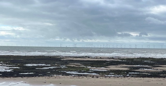
Lots of wind farm activity – Trump would be horrified!

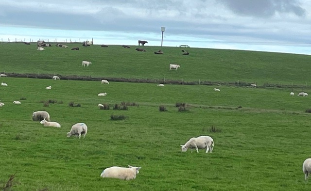
The cows were lying down but the one standing one at the top gave us hope!

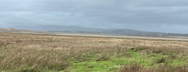
By the time we reached Walney Island Beach with its vast stretches of sand, the sun had started to shine and we began to have hope that we weren’t going to get a soaking. Big coat and hat not needed anymore.

Walney Island Beach

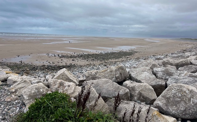
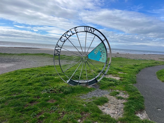
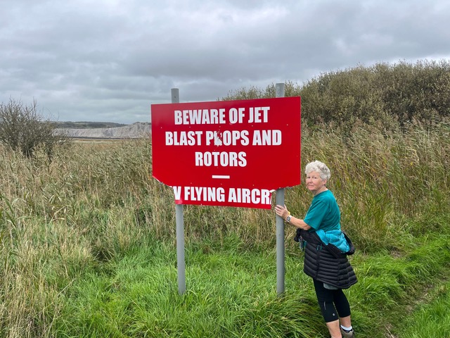
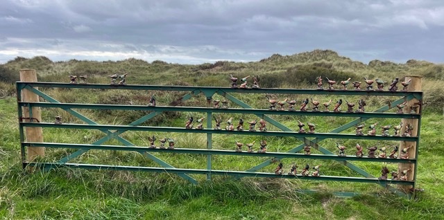
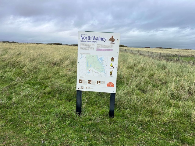
We stopped at 10 miles to have some lunch and became hopeful with some very lovely concrete paths and cycle way signs, thought this might take us all the way, but no. We think we could have saved ourselves a fair few miles if we’d cut inland but we stayed faithful to the Coastal Path signs and not only circumnavigated the airfield but also took in the North Walney Nature Reserve which to be truthful was not the most inspiring. Once out of that area we walked through some woodland, then across a few more farm fields and back into civilisation.

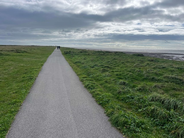
Very hopeful signs of an easier path for the final 6 miles.

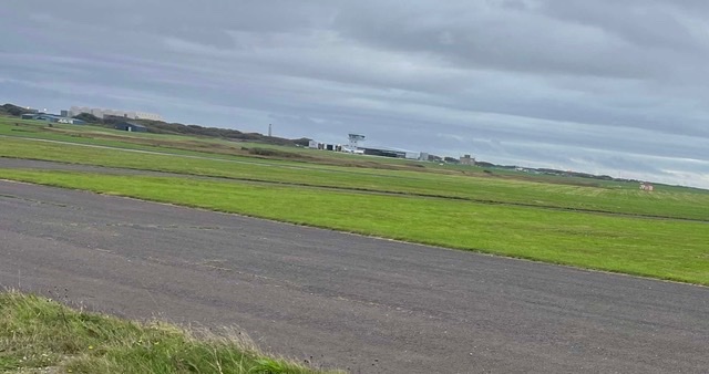
The airfield – not a plane in sight

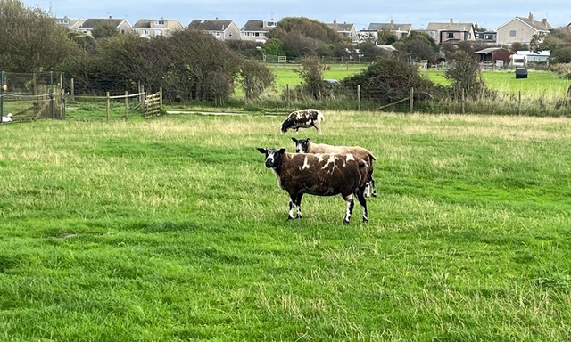
The final farm fields before reaching civilisation – it had been a while!

And then it was just another two miles or so to get back to Jubilee Bridge – those final miles are always the hardest and the last week of walking was definitely catching up on us.  As I was having a weary little sigh, Steve chose to tell me (jokingly) that it’s so much harder for him because as well as walking, he has to keep us on course, he has to carry the rucksack and he has to take the photos!  Boy was I chuffed later when Strava revealed that over the same distance, I had done 3,000 more steps than Steve – it’s SO much harder for me!!  Felt great to finish it though and we clocked up just over 16 miles.  And not a drop of rain.

Heading back to Jubilee Bridge

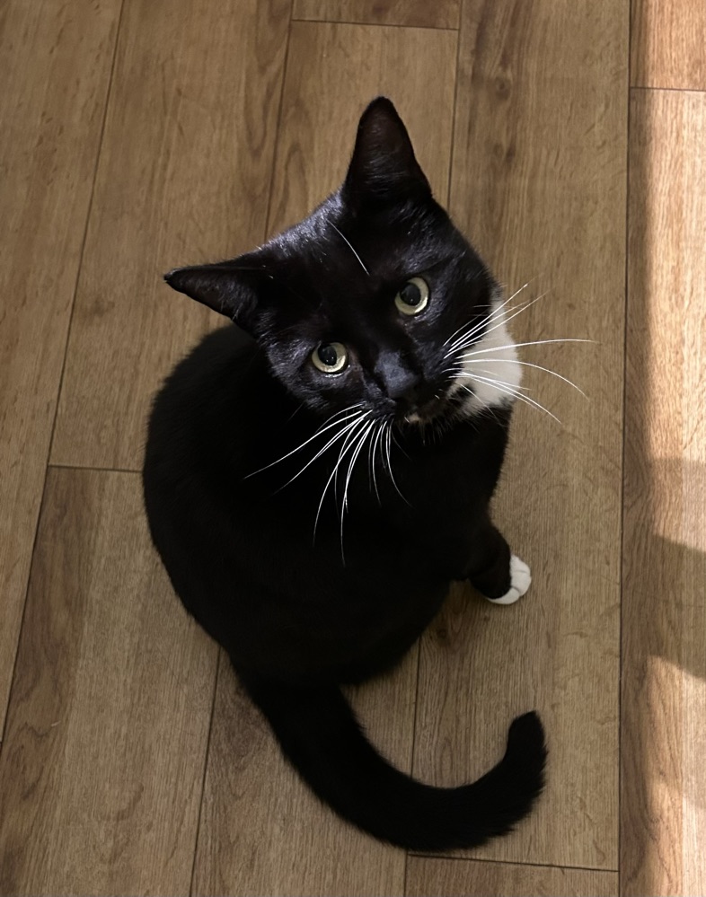
We’ve loved our walking up in Lancashire and Cumbria, such a scenic part of the UK Coastline.  We’ve ticked off another 77 miles over 7 days of walking (we had 2 rest days too).  It’s been a joy to be back in Will and Paul’s fabulous home and being carers to two of the easiest and friendliest cats – Monty and Kit.  They seem to love us and we love them.  Till next time.  And as a bonus we’re stopping off in Lymm on the way home, for some much needed Alfie cuddles and to spend a couple of days with Alice and Jon – so excited. xx

The gorgeous Monty

… and his sister, the gorgeous Kit

Can’t wait for some more Alfie cuddles tomorrow xx

Morecambe Bay just keeps on giving …

Sunday 4th October 2026

Another ‘living the dream’ day out rambling. I know people think we’re mad but we love it! And even though today was overcast it was still so fresh, the grass so green and the views over the sands and the bay magnificent. We had another hill or two to climb but the staggering vista on reaching the top each time made it all worth it.

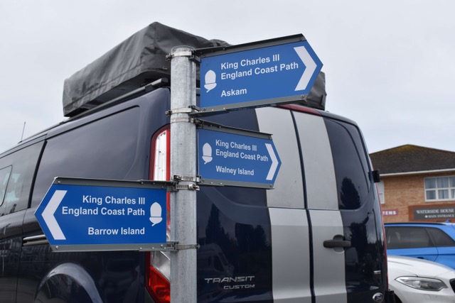
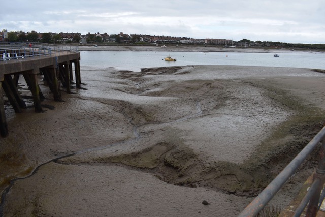
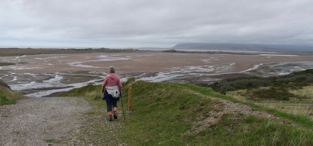
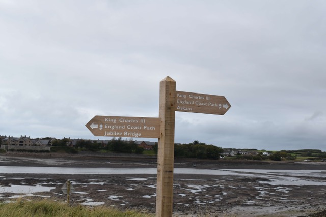
We started off our walk from Jubilee Bridge at Barrow in Furness and immediately picked up King Charles III Coastal Path signs steering us in the right direction. This is clearly a new section that they’ve worked on as the paths were superb and we were completely spoiled with signs, literally every 100 yards in places. There was very little water in the estuary, it was just like a huge mud bath. We felt great overlooking it from our safe high path – I am sure at one time the coastal path would have been down in these lower muddy sections.

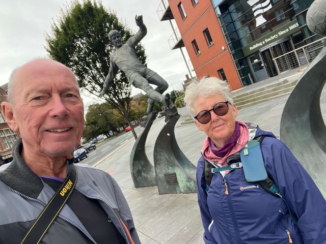
A quick selfie with Emlyn Hughes before we walked to Jubilee Bridge to pick up the Coastal Path

Right from the off we had signs clearly steering us in the right direction

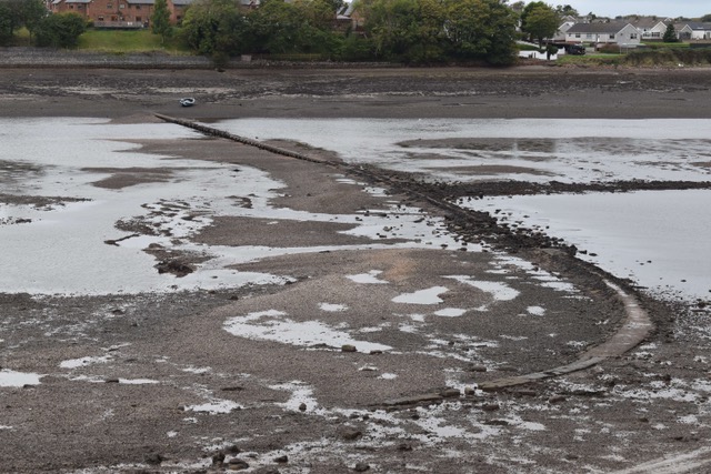
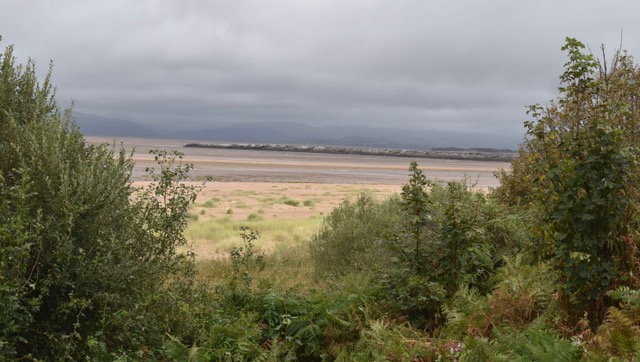
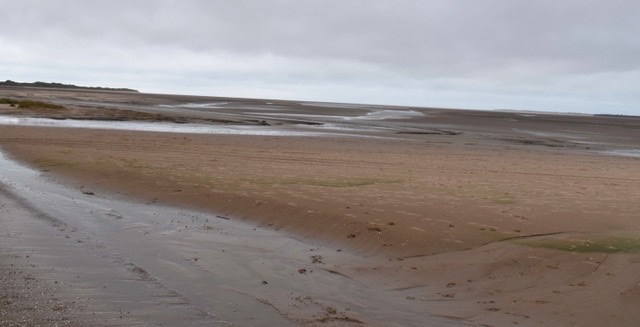
The muddy banks of the estuary

It seems that this was an optional path but one that we chose not to take.

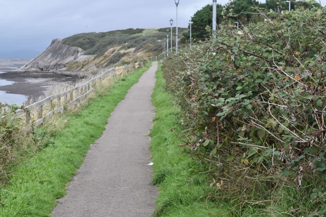
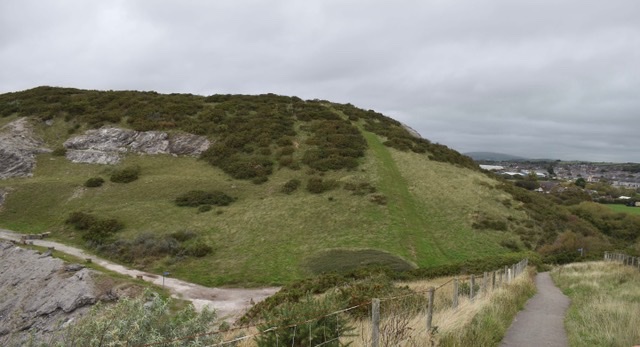
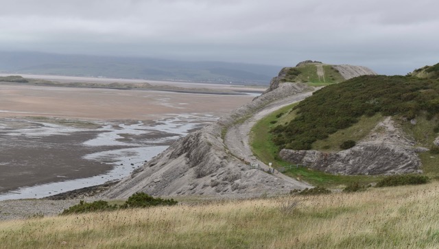
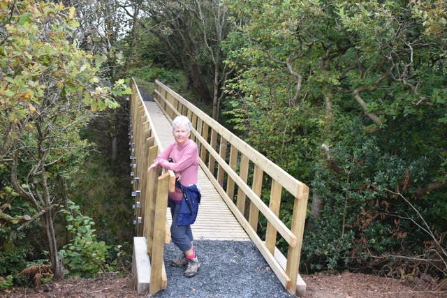
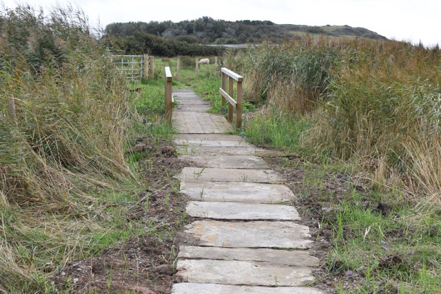
The path started off on perfect tarmac but became more varied and rugged as we proceeded, at no point was it difficult. We walked through some disused quarries where some climbing was definitely involved and then on to grassier banks. The newness of this official coastal path was so evident, not only with its clear signage but beautiful new wooden bridges, brand new metal kissing gates and fabulous stone paths.

The perfect tarmac start

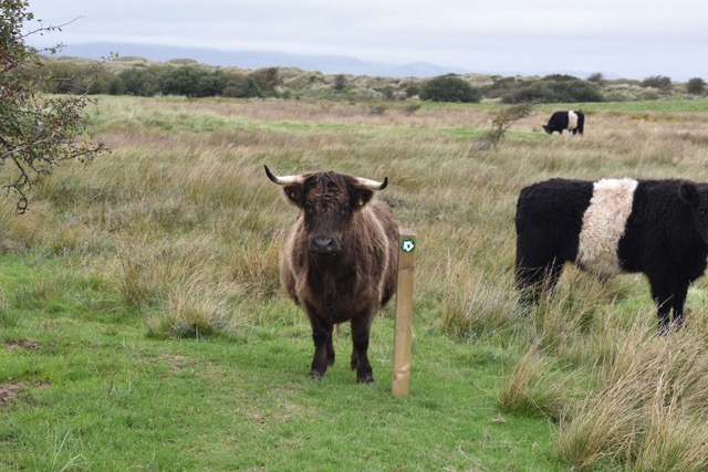
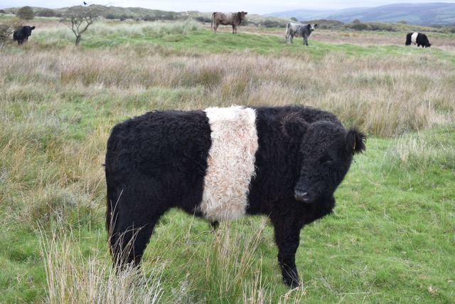
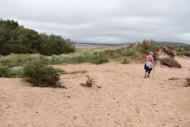
We passed through some lovely new shiny kissing gates into an area of grass covered sand dunes. This was great walking terrain but turned into a mile or so of maze – we were highly grateful for the frequently placed coastal path arrows. On entering said area though – this was my only ‘drama’ of the day … we turned a corner and came face to face with not only a herd of large woolly cows standing directly on the path, but one of them had horns. Steve was a little shocked at my 4 letter expletive but honestly it scared the life out of me. It took a fair amount of shoo-ing and bravery to get them to budge so that we could continue on our way.

I can’t be the only person that would be terrified coming face to face with this!

They were an interesting breed though – I think they’re Belted Galloway cattle

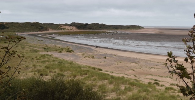
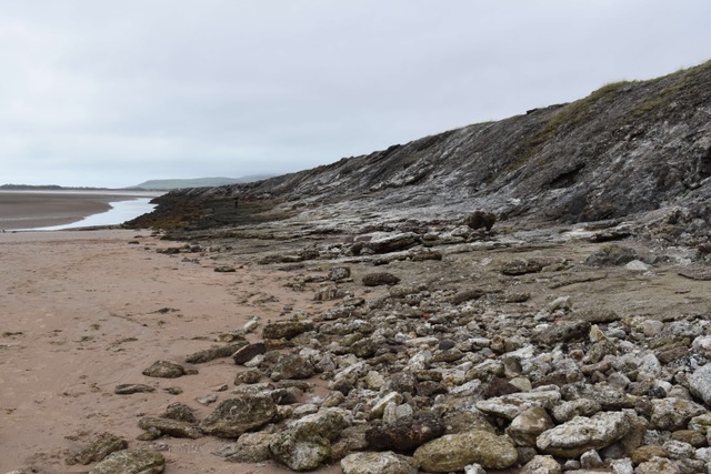
The sand dunes eventually became ‘sandy’ sand dunes and the path continued through until we found ourselves on Askam Beach where we stopped for a spot of lunch. There were a few dog walkers and families wandering along this largely sandy area – it’s not a beach where you would swim but perfect for walking and with stunning views of the Lakeland Fells. After our lunch stop we walked further up this sandy beach and up into the village of Askam in Furness. This was today’s destination and we had walked 7.5 miles.

Askam Beach

This pier is constructed from slag from the village’s old mines

Unfortunately, being a Sunday, we had to wait 1.5 hours for the next train in what seemed a deserted sort of place. Lots of historical interest I know but there was nowhere to get a cup of tea … nightmare!! Despite that we’d enjoyed our day and as I said before, whether you can believe it or not, we are ‘living the dream.’

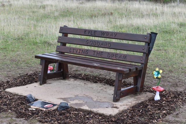
I hope we have a bench like this one day!!

Any more hills!?
Saturday 3rd October 2026

I know it’s Cumbria but boy have we climbed a few hills today, I can laugh now that I’m relaxing on the sofa blogging, but it was painful at times.

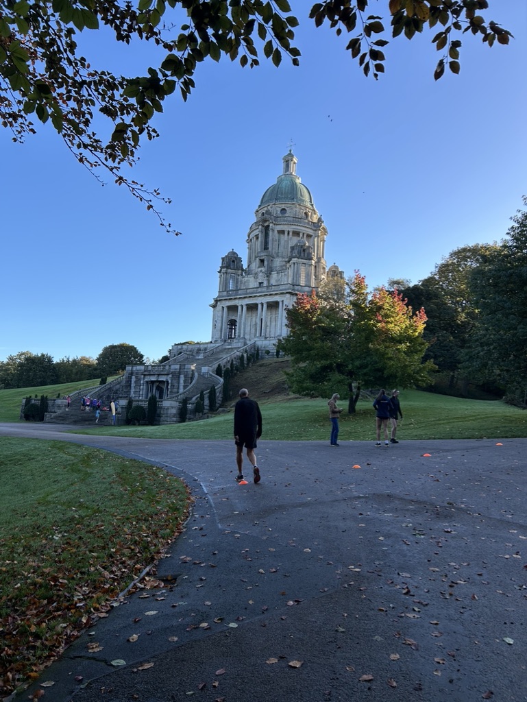
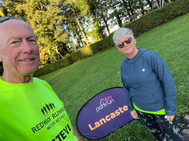
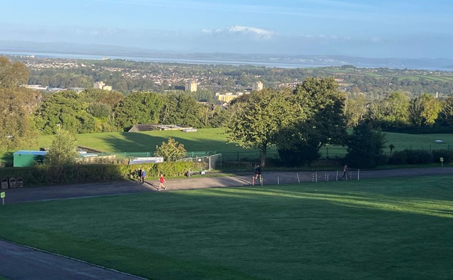
Our Saturday of course had started with a parkrun and getting to the local Lancaster one involved a mile walk to the very picturesque Williamson Park – UPHILL. And, although we appreciated the beauty of the park with its monuments and its stunning views over Lancaster, the run was hugely hilly with a lot of trail thrown in. We dragged ourselves around, as you do, and as always, the other runners and organisers were a friendly bunch. Then it was time for the mile walk back – this time DOWNHILL.

Lancaster parkrun – started on a hill and ended on a hill. The folly of Ashton memorial, a tribute to Jessy.

Views over Lancaster from Williamson Park.

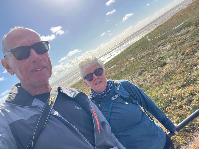
So just the 5 miles of exercise completed before we had breakfast and caught the train to Grange Over Sands for todays coastal walk. Steve had been trying to plot a route between Grange Over Sands and Ulverston but the usual blog guide we follow warned us against attempting it as it involves a major road with no pavements. It seemed that we could get as far as Cark easy enough so this short walk seemed perfect for the afternoon.

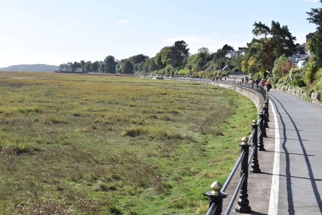
A scenic promenade was our first section of path, and being a Saturday was well populated with walkers. We enjoyed the ease. This eventually led us on to a quiet road, then some muddy lanes (a huge puddle provided us with wet feet for the day), a path running alongside the railway and into the village of Kents Bank. Some very beautiful houses here and we were saying how lucky they were to be so remote and yet have their own railway station. Then we had to tackle a humungous HILL and I’m not exaggerating … it was both steep and long, you needed a good set of lungs to get to the top. Not another walker in sight – funny that! Still following our OS app, we literally turned a corner and then were guided down ‘Jack Hill,’ and incredibly steep descent – the type that pulls on your calf muscles.

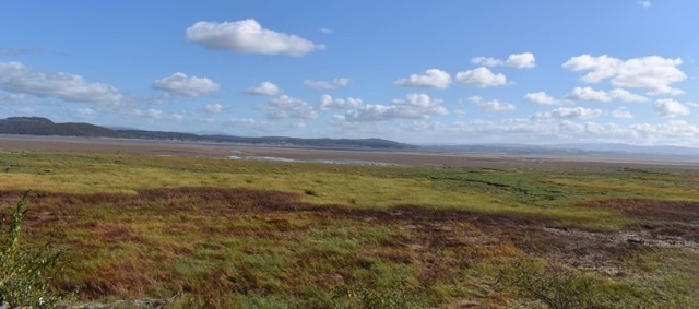
Setting off from Grange Over Sands … thats not sands, it’s marshland!

A wonderful stroll along Grange Over Sands promenade.

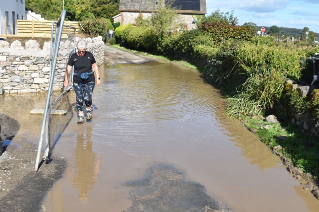
The obligatory wet feet at some point of each walk!

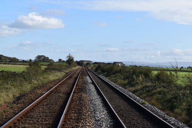
Steve loves it when we have to cross a raliway line.

At the bottom of the hill there was a little cluster of very grand but rustic looking houses and they clearly weren’t keen on ramblers as there were “Private’ signs everywhere, and a lot of barking dogs, guarding said properties. But we had it on good authority, from our OS app, that there was a Public Footpath somewhere – but finding it was a little tricky. We tried several paths through a wooded area, back tracking each time, before Steve spotted the narrowest of passageways with a hidden Public Footpath sign … and we got back on our way.

The next section was across a couple of farm fields, rather boggy and knobbly fields I’m afraid, no path laid out particularly … long wet grass. And to my delight, a herd of inquisitive cows – as always I got anxious as they moved towards us … and as always Steve managed to shoo them away using his long limbs and loud voice to let them know that we didn’t have anything for them and we didn’t particularly want them following us. Yet another stampede avoided!!

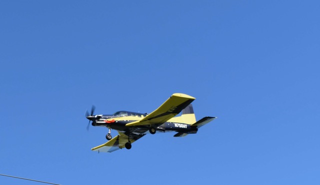
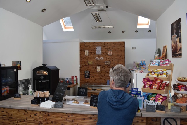
From there we got onto a lovely flat tarmac lane and we hopefully had our destination in sight. We were near an airfield and saw a lot of parachute activity and then some low flying planes which proved exciting. We had hope of finding an embankment wall which seemed to be indicated on the map, but no such luck. We had to make another u-turn and back track our way down the long road that took us into Cark. Just nearing the village we stumbled across a cafe and treated ourselves to coffee and meat pies as recommended by the lovely lady running it. From there it was the final UPHILL trek to the railway station … and we had covered a further 6 miles of the coastline.

Low flying planes against the clear blue sky

Waiting for my meat and potato pie x

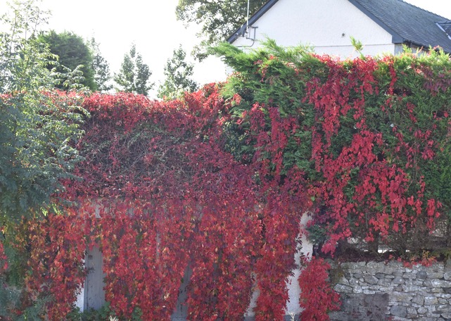
Autumn colours

Despite the hills it was a fabulous day (Parkrun + Coastal Walk = 11 miles) but I can certainly feel it in my legs tonight. And you know we’ll be back for more tomorrow – there’s no stopping these Rambling Roses. xx

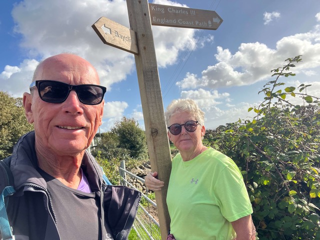
We finally found King Charles …

Thursday 1st October 2026

Today’s plan was to walk from Ulverston to Barrow in Furness. As has been the case, there is no indication on the Ordnance Survey app of an official King Charles III coastal path on this section so, once more, Steve had picked out a potential route to get us from A to B, hopefully being able to walk a little nearer to the coastline today. We knew it was going to be a long walk but we had no idea what to expect in terms of path – we had plan Bs in place i.e. turn back/bus or uber!! Yet again the sun was shining down on us – can’t believe it’s October – so we were all set to give it a good try.

First off it was the train to Ulverston which is a beautifully scenic ride – highly recommend it. The walk started through the local streets of Ulverston and then on to a more major road – there were pavements though so all was good and this went on for a good few miles. It was almost like being in that glorious Cumbria countryside again as the views to our left were rolling green hills, farmhouses and flocks of sheep – it was just that we had frantic A5087 running alongside us to the left.

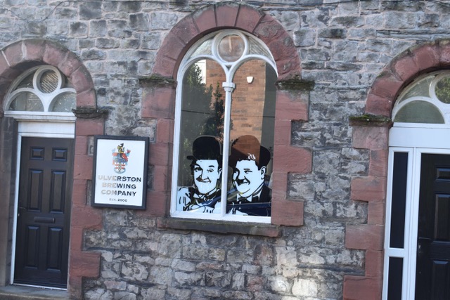
Stan Laurel was from Ulverston so hints of him in the town

Beautiful countryside views to our right on the coast road out of Ulverston

At just over 3 miles, this road led us to a scenic waterfront with a well positioned cafe. A little early to take a break I know but we make the rules up as we go along … and cappuccino and chocolate brownie were so required, and enjoyed. This put a spring in our step and it was fabulous to be walking on a well provided shoreline path. Then the most crazy thing happened – we turned a corner and there to greet us was a very fresh looking wooden King Charles III Coast Path sign, just when you least expect it. Well, it was like snuggling into a comfort blanket, just feeling familiar and knowing that we were going to be led safely to our destination.

The Chill and Grill cafe – excellent coffee and cakes

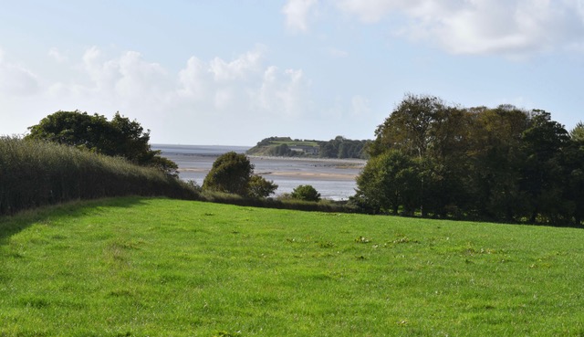
From here we were led into ‘Sea Wood’ and, as it says on the tin, it was a wood at the seaside. A very historical wood at that, it was once owned by Lady Jane Grey in the 1500s and was used to supply timber to the local mines and shipbuilding. It was pretty to walk through albeit a little slippery in places – I nearly pulled Steve over when he was helping me down a slope.

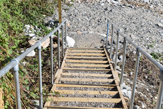
So we gaily followed this new official path – all the signposts, steps and kissing gates were lovely new wood – taking us on a variety of terrain … estuary path, shingle beaches, farm fields and some roadside. We did take a little diversion off the road at one point to get some respite from the traffic noise. Steve tried to come to the rescue of a poor sheep that had got wire wrapped around its legs. He wasn’t able to get the wire off so we knocked on a few doors in the nearby village of Aldingham but no-one was in. We finally passed a couple of walkers who offered to notify the local farmer. Hope he’s OK.

Lovely new wooden steps

In the village of Aldingham

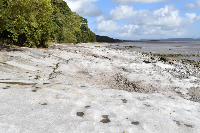
We returned to the path on the main Coast Road and then were signposted down to a beach and the sand was perfect for walking on. Always love being this close to the water. However, the tide was coming in and the beach was getting narrower and more rocky – just got a tad anxious about these unusual Morecambe Bay tides. We kept looking out for signs to take us back up but there was just a bank of greenish rocks between us and the higher ground. As the beach became less accessible, we made the decision to scrabble up said rocks. Rock climbing has never been my thing so I was on all fours! And there at the top was a perfect tarmac path – goodness knows how much of that we’d missed and where the sign had been.

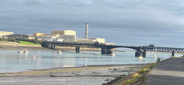
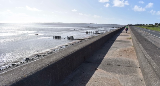
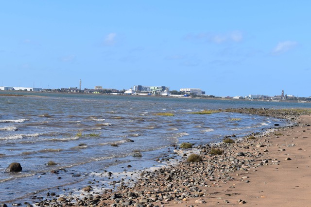
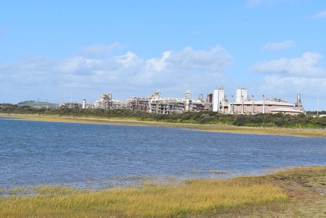
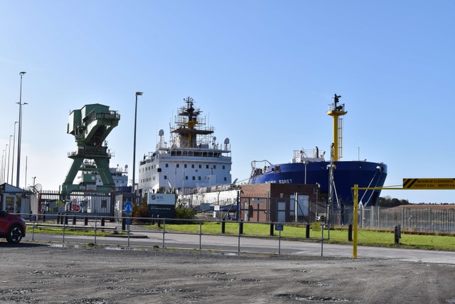
We picked up the official signs again and from here it was a completely straightforward walk into Barrow in Furness. Such a contrast to the countryside views of the last few days but interesting in its industrial skyline. From the long seawall path we could see Piel Island, Walney Island and the Barrow shipyard. We took the opportunity to video call our lovely friend Glynis who is a ‘Barrow girl’ and she chatted to us all about her hometown as walked around Cavendish Dock into the centre. We stopped our garmins at this point and we had clocked up 15 miles. We were chuffed with ourselves.

The Barrow Gas Terminal

The Barrow Shipyard

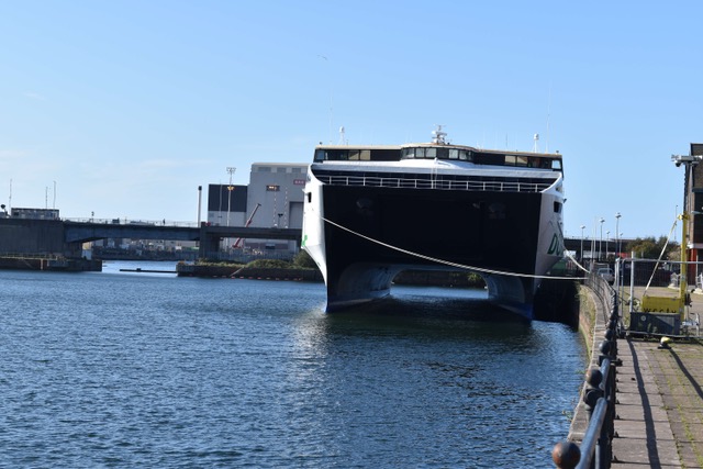
The Dublin Ferry

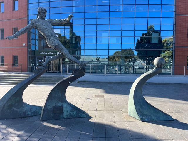
We were relieved to have completed what started as an unknown section, and even more thrilled that King Charles had made such a welcome reappearance. But Steve was even more excited when we got to the station to find a statue of one of his all time heros – Emlyn Hughes – another local … almost as famous as Glynis!

“Barrow boy” … Emlyn Hughes